New Broadband Mapping Fabric Will Help Unify Geocoding Across the Broadband Industry, Experts Say
March 11, 2021 – The Federal Communications Commission’s new “fabric” for mapping broadband service across America will not only help collect more accurate data, but also unify geocoding across the broadband industry, industry experts said during a Federal Communications Bar Association webinar Thur
March 11, 2021 – The Federal Communications Commission’s new “fabric” for mapping broadband service across America will not only help collect more accurate data, but also unify geocoding across the broadband industry, industry experts said during a Federal Communications Bar Association webinar Thursday.
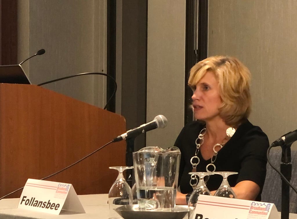
Broadband service providers are not geocoding experts, said Lynn Follansbee of US Telecom, and they don’t know where all the people are.
The new fabric dataset is going to be very useful to get a granular look at what is and what is not served and to harmonize geocoding, she said.
AT&T’s Mary Henze agreed. “We’re a broadband provider, we’re not a GIS company,” she said. Unified geocode across the whole field will help a lot to find missing spots in our service area, she said.
The new Digital Opportunity Data Collection fabric is a major shift from the current Form 477 data that the FCC collects, which has been notoriously inaccurate for years. The effort to improve broadband mapping has been ongoing for years, and in 2019 US Telecom in partnership with CostQuest and other industry partners created the fabric pilot program.
That has been instrumental in lead to the new FCC system, panelists said. It is called a “fabric” dataset because it is made up of other datasets that interlace like fabric, Follansbee explained.
The fabric brings new challenges, especially for mobile providers, said Chris Wieczorek of T-Mobile. With a whole new set of reporting criteria to fill out the fabric, it will lead to confusion for consumers, and lots of work for the new task force, he said.
Henze said that without the fabric, closing the digital divide between those with broadband internet and those without has been impossible.
Digital Opportunity Data Collection expected to help better map rural areas
The new mapping can help in rural areas where the current geolocation for a resident may be a mailbox that is several hundred feet or farther away from the actual house that needs service, Follansbee said.
Rural areas aren’t the only places that will benefit, though. It can also help in dense urban areas where vertical location in a residential building is important to getting a good connection, said Wieczorek.
The fabric will also help from a financial perspective, because of the large amount of funding going around, said Charter Communications’ Christine Sanquist. The improved mapping can help identify where best to spend that funding for federal agencies, providers, and local governments, she said.
There is now more than $10 billion in new federal funding for broadband-related projects, with the recent $3.2 billion Emergency Broadband Benefit program as part of the Consolidated Appropriations Act in December 2020 and the new $7.6 Emergency Connectivity Fund part of the American Rescue Plan that President Joe Biden signed into law Thursday.
The new FCC task force for implementing the new mapping system was created in February 2021, and is being led by , led by Jean Kiddoo at the FCC. No specific dates have been set yet for getting the system operational.




Member discussion