Indoor Location Gaps and FirstNet Reauthorization in Public Safety Discussion
Technology stakeholders say 3D positioning and indoor mapping are at an inflection point.
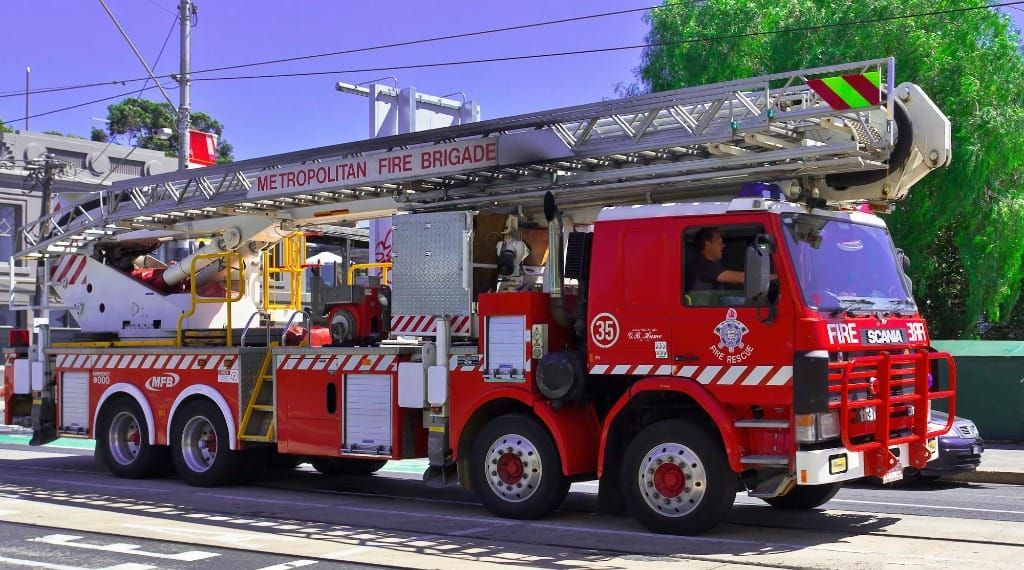
WASHINGTON, April 22, 2026 – The inability to locate first responders during emergency situations remains one of the most persistent challenges in public safety communications, panelists said Wednesday at a Broadband Breakfast Live Online event focused on mission critical broadband.
Three experts joined moderator Drew Clark to examine where indoor positioning technology stands, the state of FirstNet reauthorization, and the legislative and regulatory landscape shaping public safety communications in 2026.
The indoor location problem
Few on the panel spoke with more urgency about the stakes than Brian Nardelli, fire chief in Brockton, Massachusetts and a 29-year veteran of the department. In the last five years, three of his firefighters have fallen through floors and declared maydays.

"If they had a medical incident or something to that effect, that would not be the case," Nardelli said, referring to the ability to verbally communicate their location. He described a mayday call from roughly a year ago in which a firefighter fell through a floor and, reaching up to be grabbed, pulled the radio microphone off the officer trying to transmit, leaving the firefighter on a different floor with no communication.
The United States loses approximately 500 firefighters per year in line-of-duty deaths, a figure that has not meaningfully changed despite advances in thermal imaging and breathing equipment.
"I really believe when we lose firefighters in a building, that's a major component of this, we're unable to find them and see their locations," Nardelli said.
Nearly two decades of work on that problem have shaped the mission of NextNav, whose vice president of government affairs, Ed Mortimer, said his company currently provides vertical floor-level positioning to carriers including AT&T, which serves as the network provider for FirstNet. But z-axis data alone is insufficient, he said, pointing to a joint study with Arlington County that found accurate floor-level data paired with inaccurate horizontal coordinates could place a responder a half-mile from their actual location.
NextNav is now developing a 5G-based solution to provide full three-dimensional indoor positioning that Mortimer said would be standards-based, cost nothing to taxpayers, and not require congressional action. The company is currently working with the FCC to bring the technology to market.
Precise coordinates, however, mean little without context. Brooks Shannon, director of emergency communication solutions for Esri, described what that data means once it arrives. Esri's platform allows agencies to build, maintain, and analyze indoor maps, giving a precise "blue dot" meaningful geographic context.
"It's not very great if you get a really nice blue dot in white space," Shannon said.
FirstNet reauthorization
The discussion came the same week that FirstNet reauthorization cleared the House and moved to the Senate, a development all three panelists welcomed.
"Having that individual network, and ensuring interoperability, I think that's going to be one of the goals as FirstNet moves forward," Mortimer said.
The network's foundational importance is difficult to overstate, Shannon argued. "Without that, you really don't have hope of being able to get visual geographic context for a really high quality blue dot if you can't get the map," he said. He pointed to New Zealand's model, in which two competing mobile operators maintain a mutual roaming agreement allowing first responders to seamlessly switch networks if one goes down during a disaster.
Nardelli drew on the 2013 Boston Marathon bombing to underscore the point. "Without something that first responders nationwide can use separately that keeps them in their own pathway without crowding," he said, mission-critical communications break down exactly when they are needed most.
A policy threat in Indiana
Shannon flagged a recently passed Indiana law, House Bill 1001, that he described as deeply alarming. The amended legislation makes it illegal to enforce ordinances or fire codes requiring wireless coverage testing inside buildings, or the installation of equipment to remediate wireless dead zones.
"That one kind of flew under the radar at the eleventh hour," Shannon said, adding that the motive appeared to be saving building owners money. "We might end up in a bigger situation across other states where all of a sudden we go, we've had ordinances in place for years that we just can't enforce."
Nardelli confirmed the pattern was familiar. "It comes down to saving a couple of bucks," he said.
A coordination problem, not a technology problem
Despite the obstacles, all three panelists described the current moment as an inflection point with the remaining barriers organizational rather than technical.
"I don't think it's a technology problem anymore. It's a coordination problem," Shannon said, calling for comprehensive indoor mapping of all U.S. schools, higher education institutions, and critical government buildings. Legislation moving through the House, Alyssa's Act, would set baseline standards for panic alerting systems and require the Department of Homeland Security to produce a roadmap for mapping critical government buildings within 12 months of passage.
Mortimer closed by identifying three conditions that make the present moment different from prior years: a federal government open to innovation, an ecosystem finally working in concert rather than in silos, and the engagement of end users like Nardelli.
"Saving lives," Mortimer said, "That's really the key."